 Properties with 360° video tour
 ���������
 Deutsch
  Polski
  �������

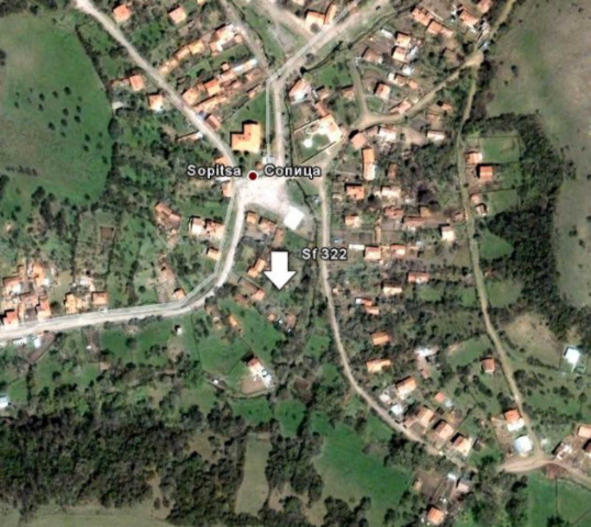
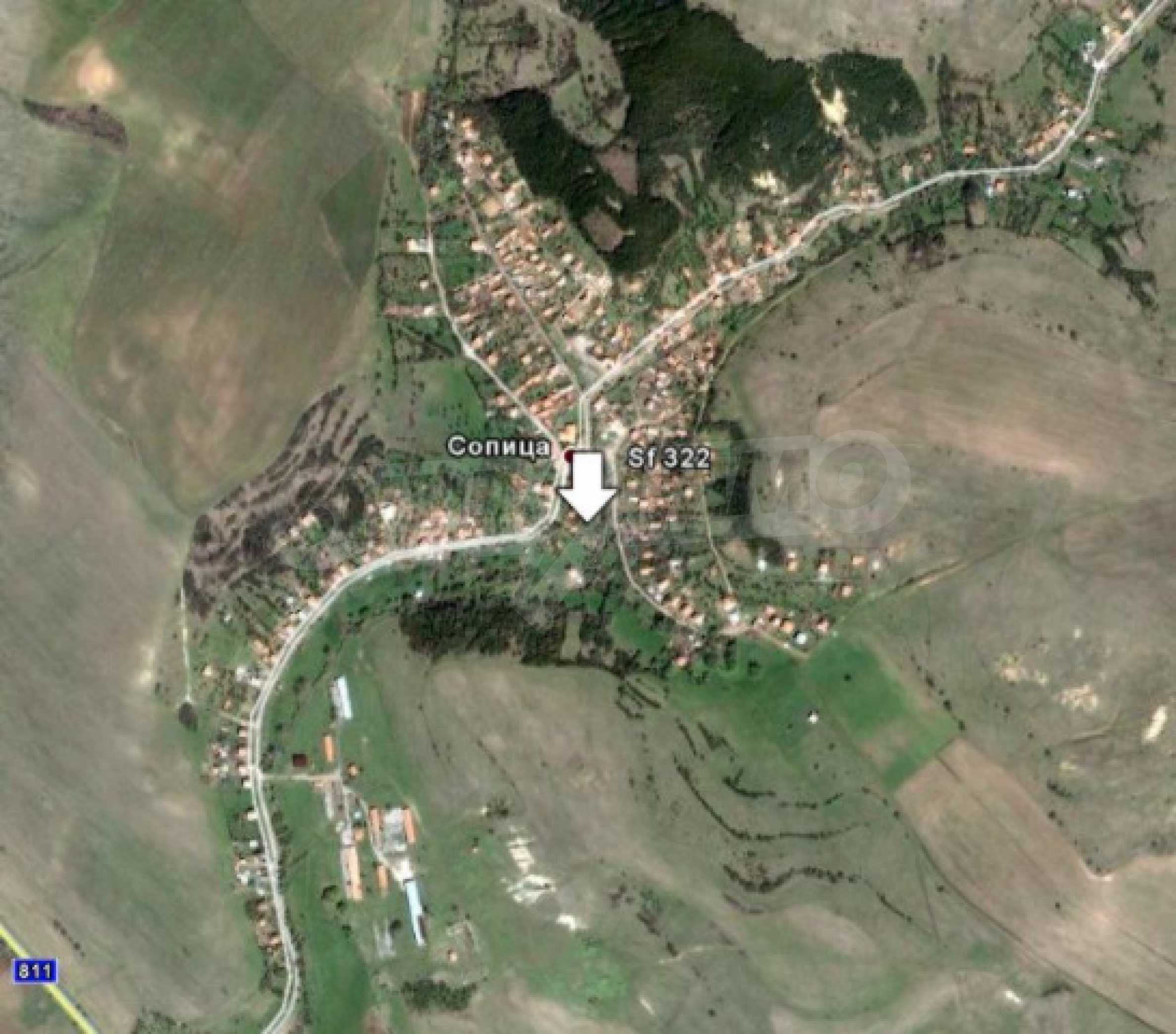
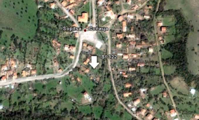
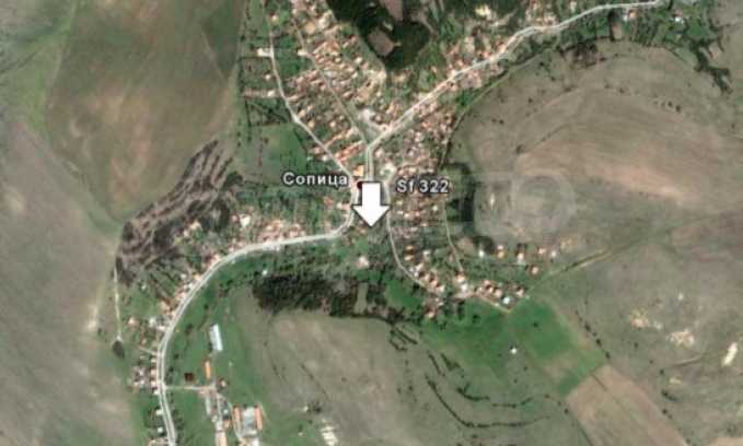
REF#Sf 322 / Land / Near Sofia / Sofia region / Bulgaria / For sale On the map


Total area
912 sq.m

Price
Request more information or a viewing
Info pack
Finishing
average
Distance
 50�km
50�km
Last update
04.01.2023
Distance from the property to major attractions
- Airport Sofia (SOF): 50�km
Information about the property
GASIFICATION, ELECTRICITY
- Electricity
ACCESS TO THE PROPERTY AND TELECOMMUNICATIONS
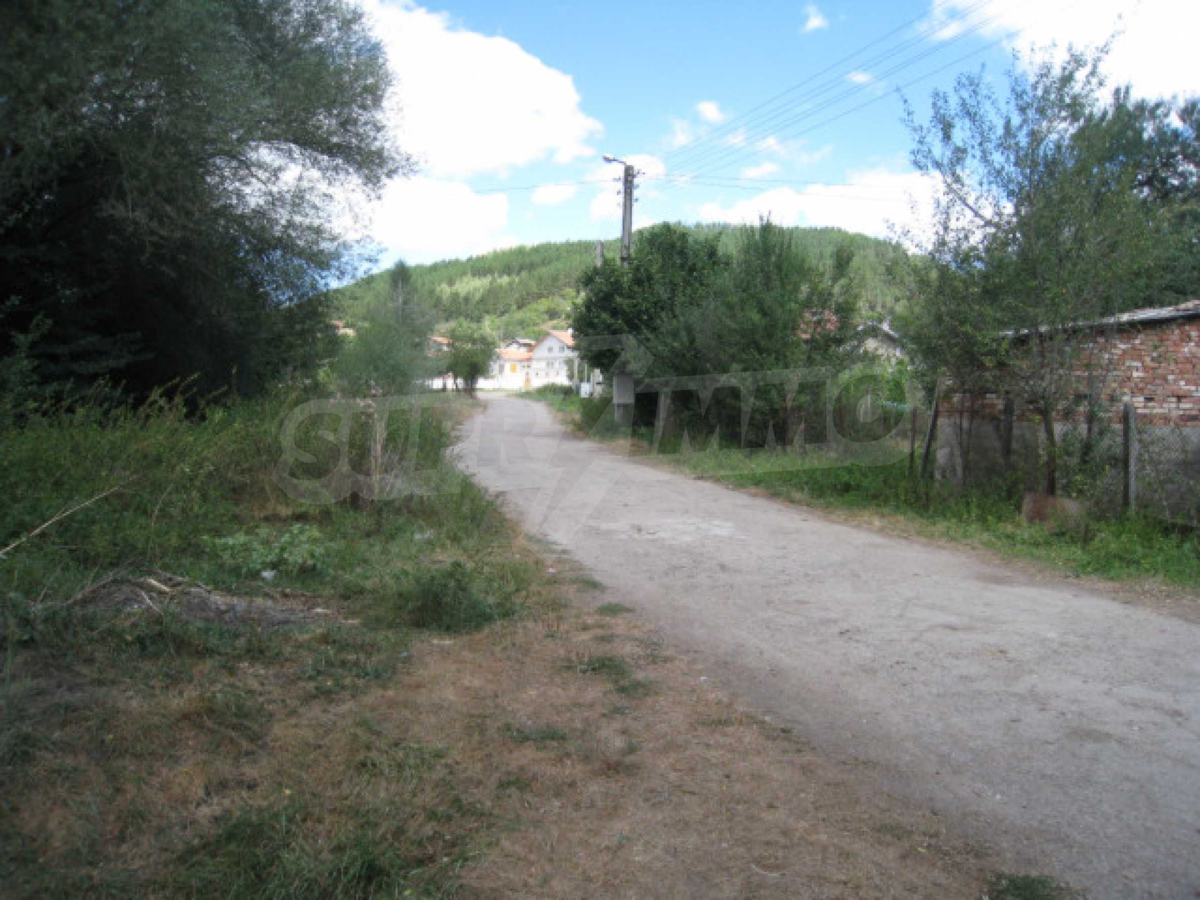
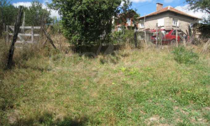
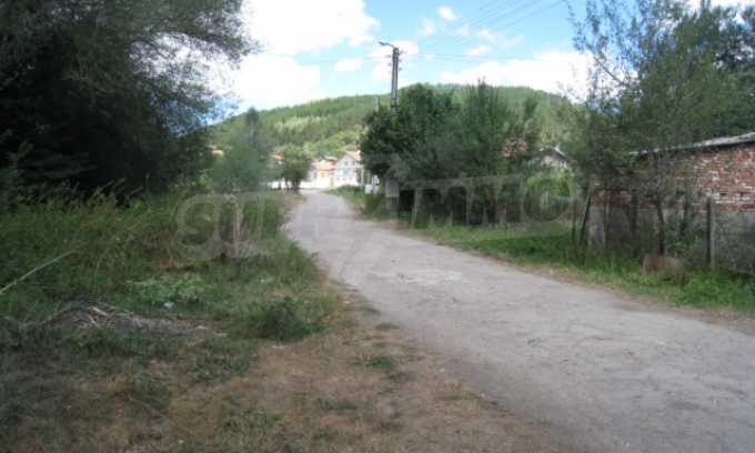
- On asphalt road

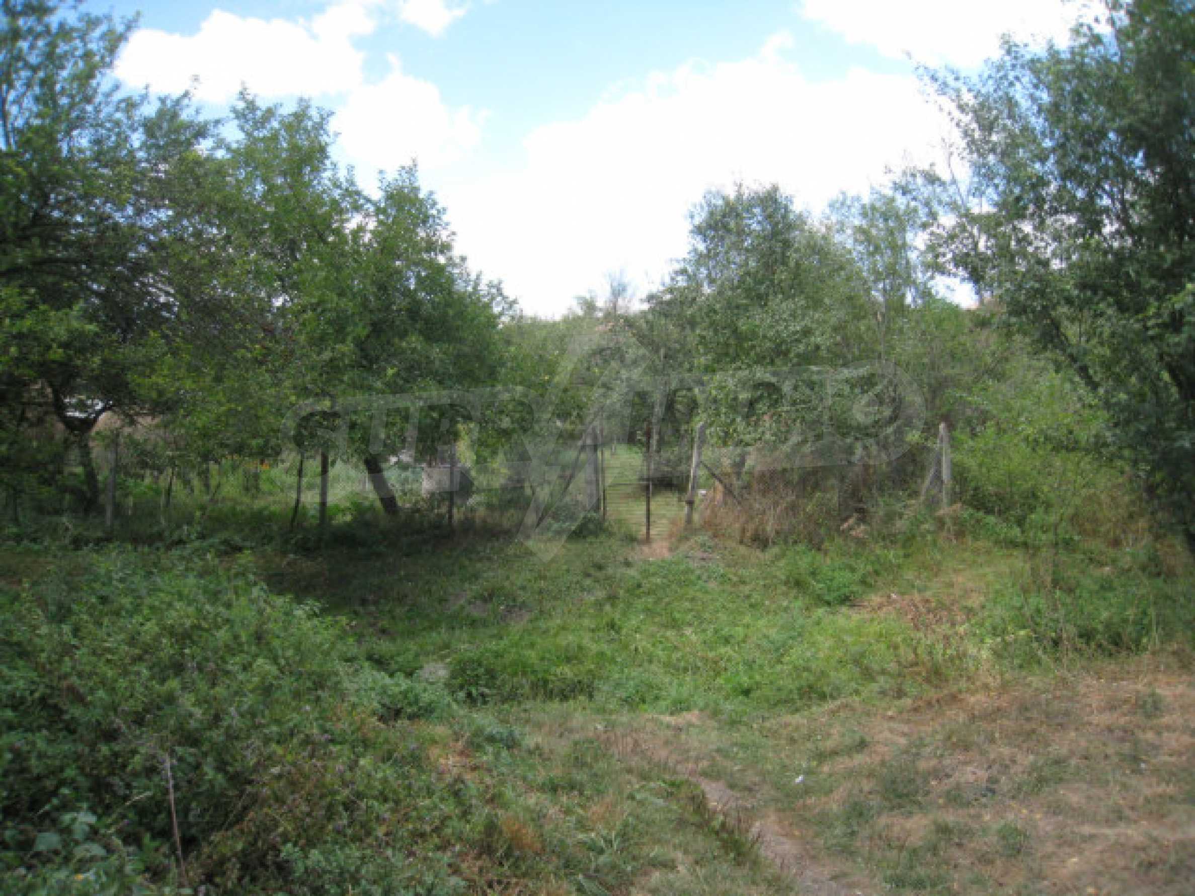
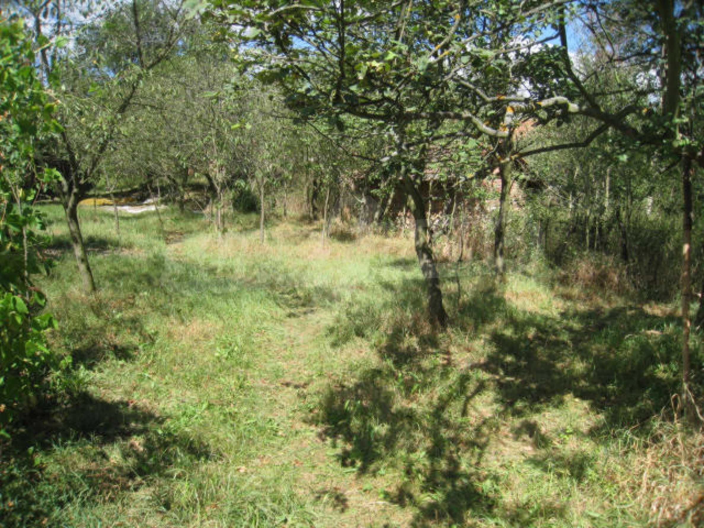
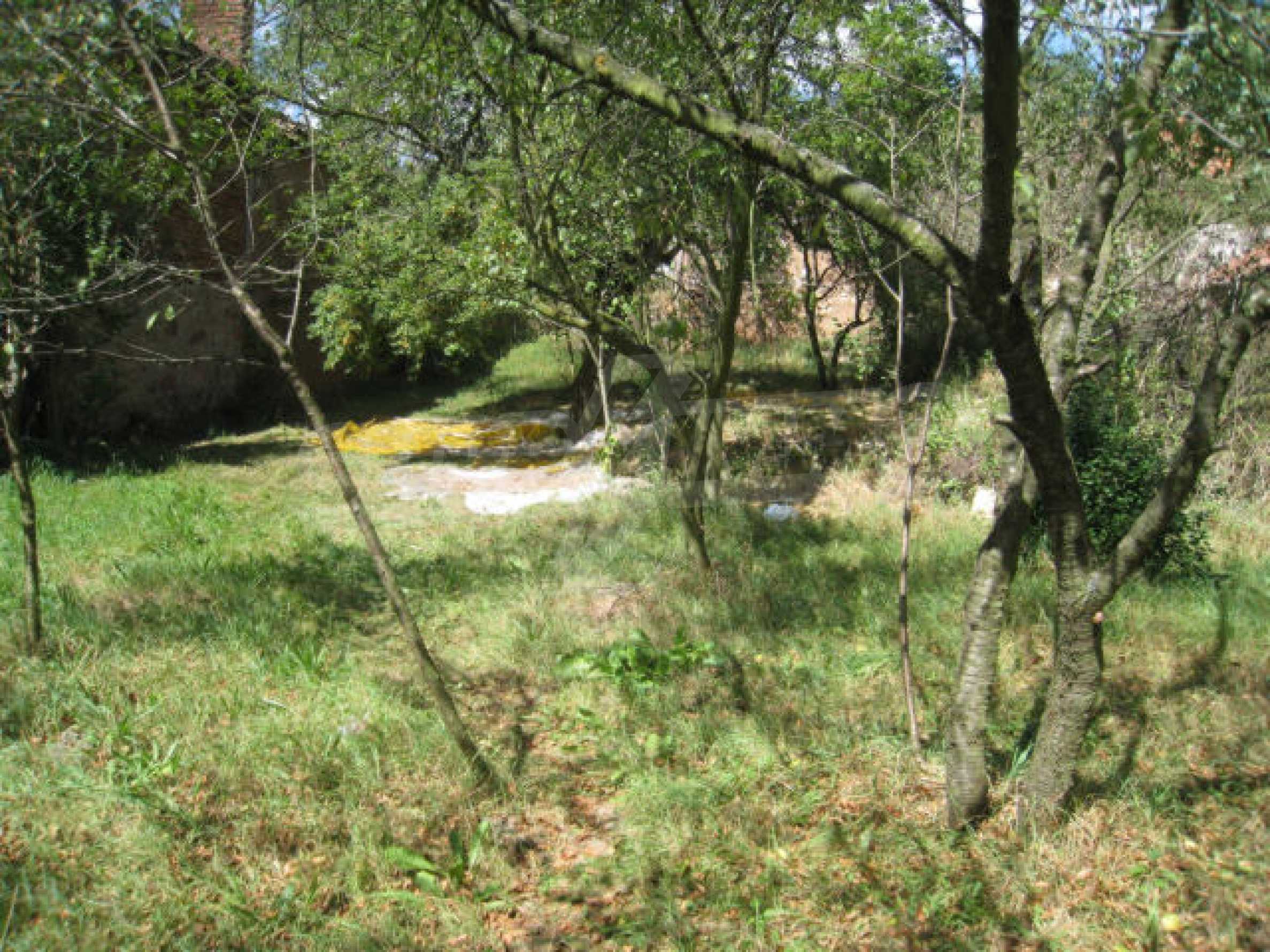
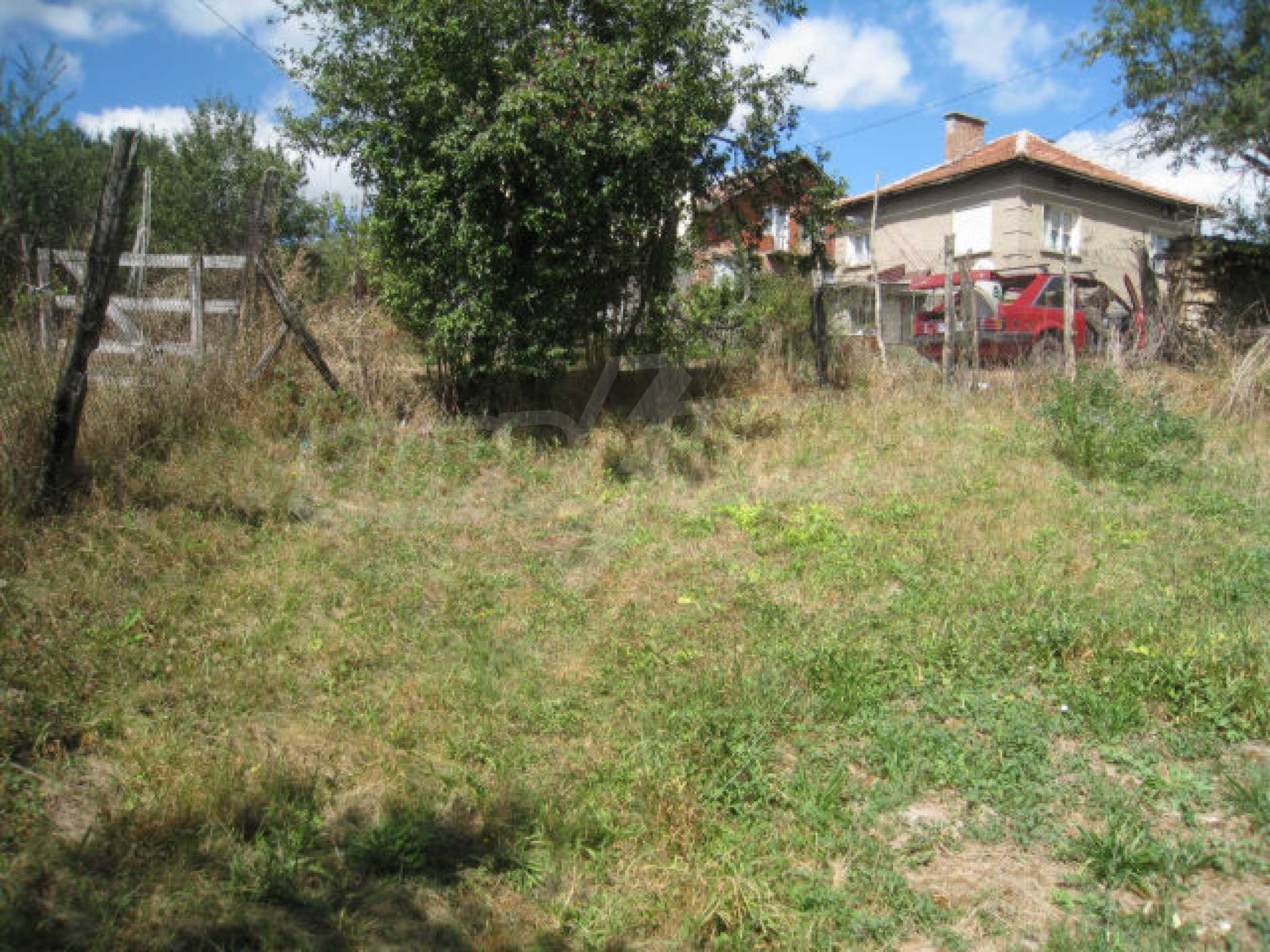
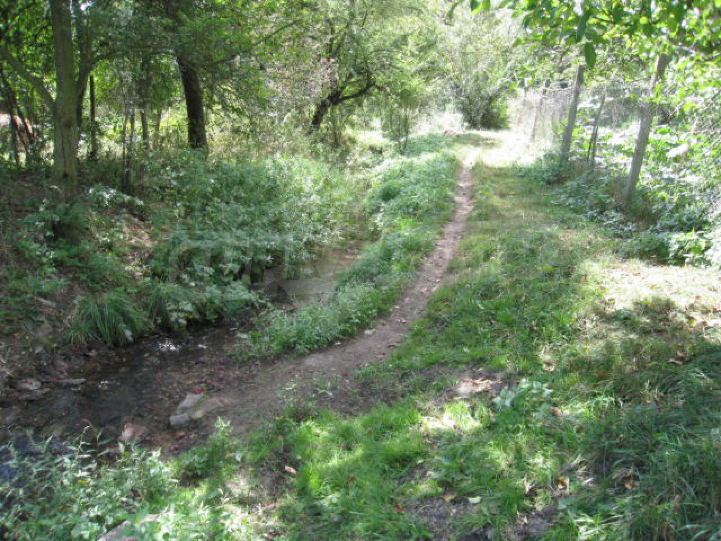
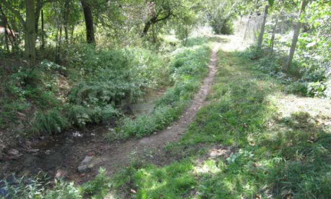
This plot of regulated land is located in a small village not very far from Sofia, about 48 km west from the capital. The land is with access through an asphalt road. A key advantage is that there is a small brook passing just next to it.
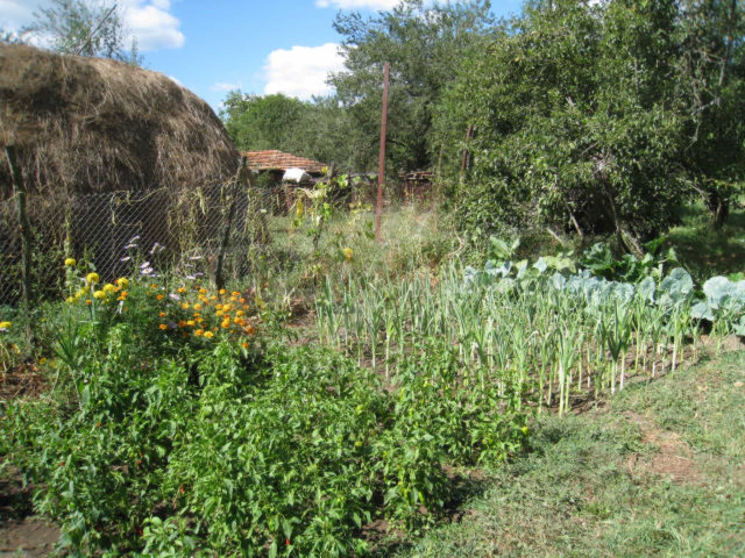
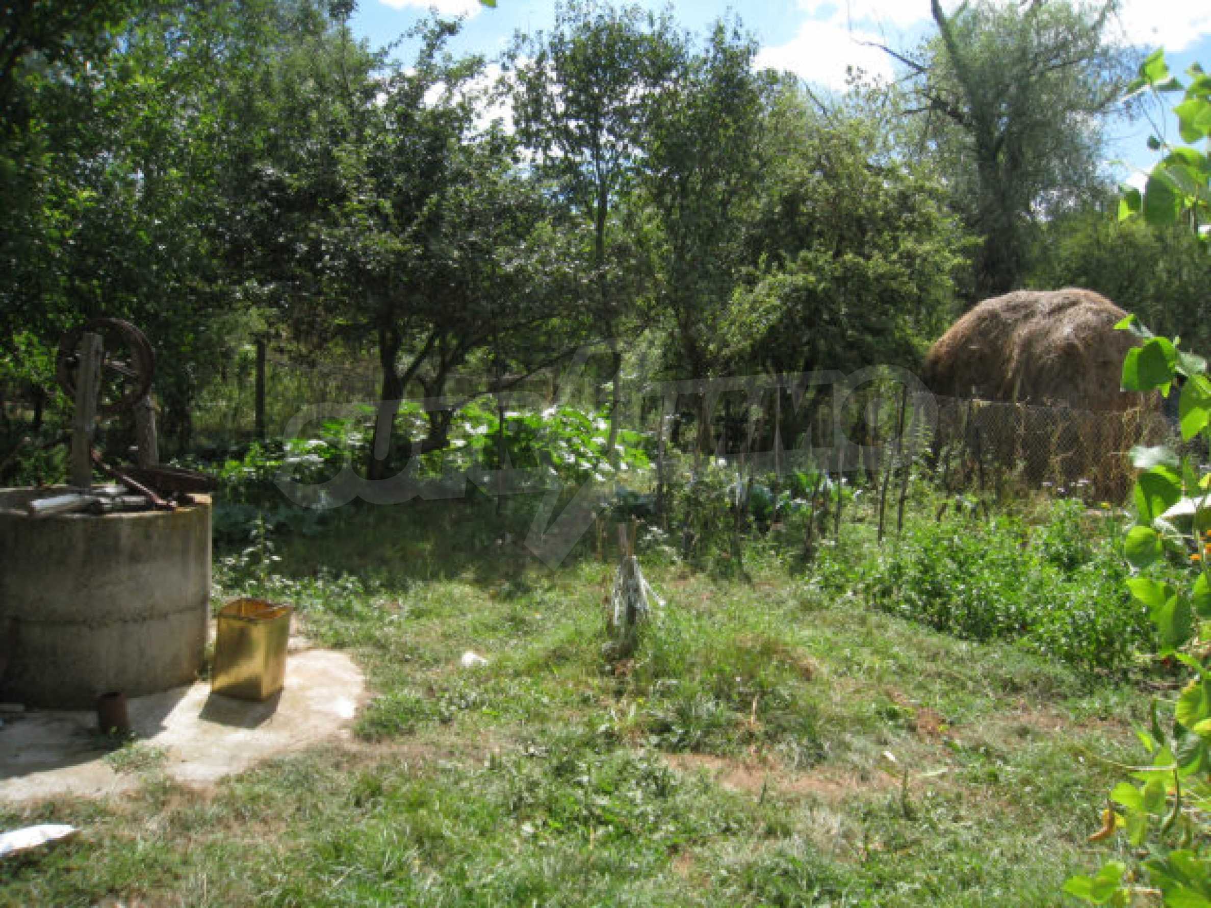
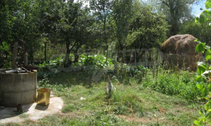
Electricity is available right next to the plot and it can easily be connected when a house is built. There is no mains water system in the village, however, there is no problem with the supply as all houses have their own wells. There is a well on the plot already done.
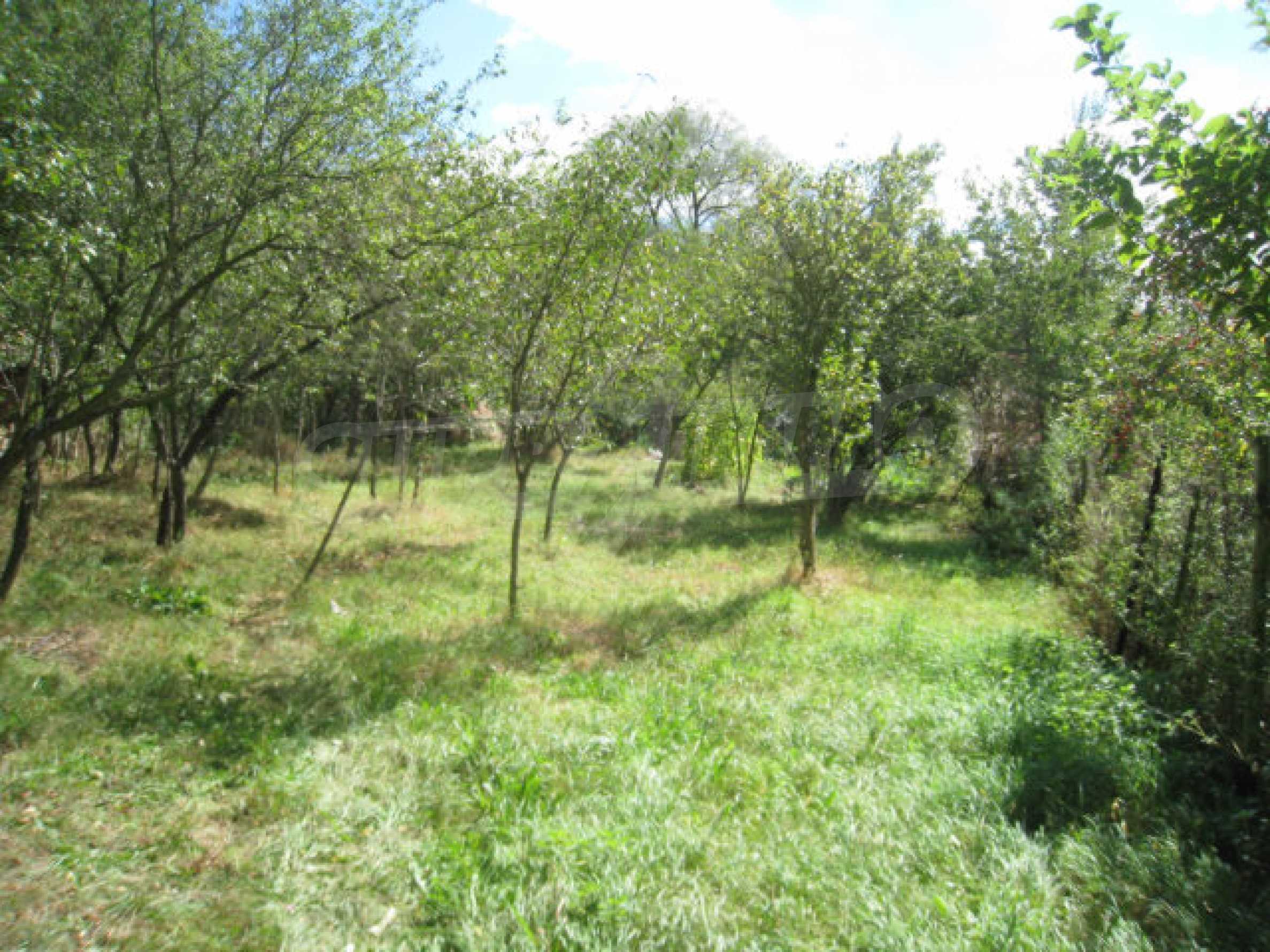
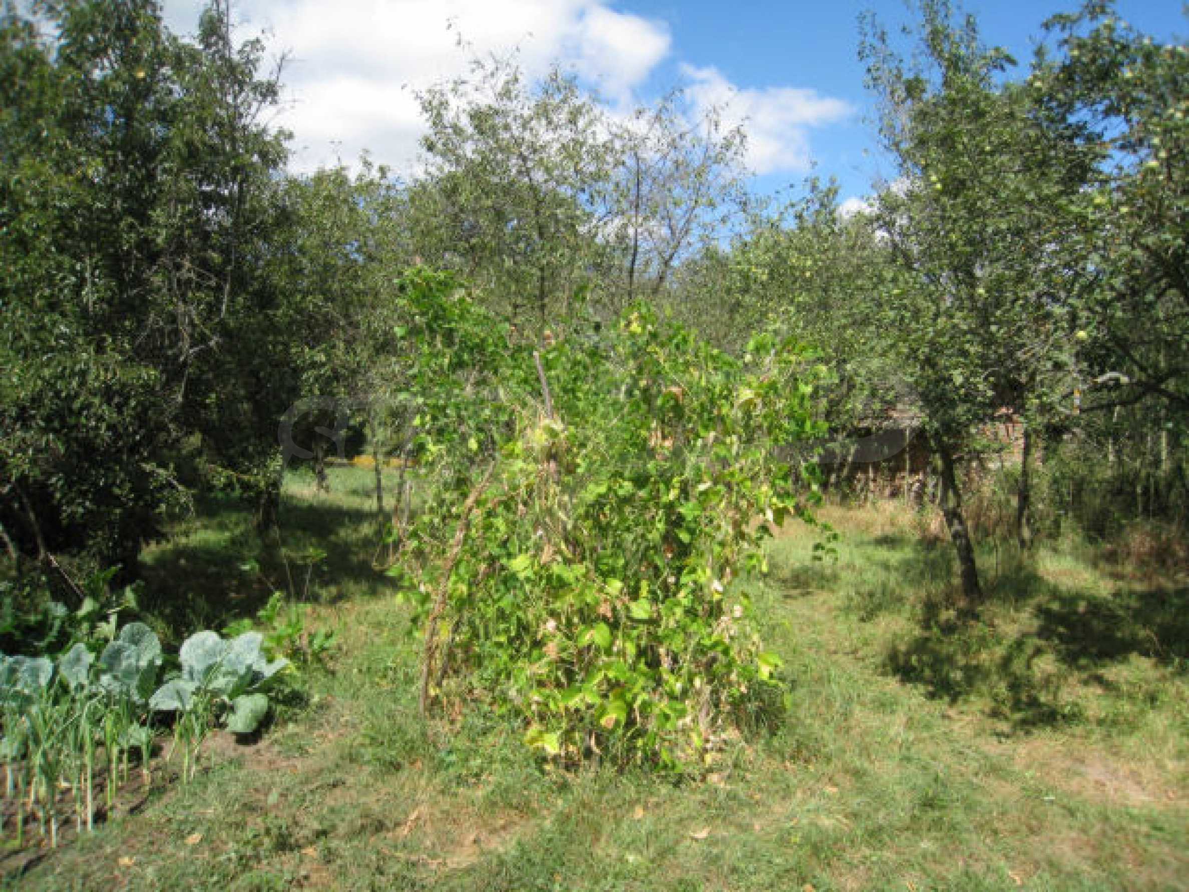
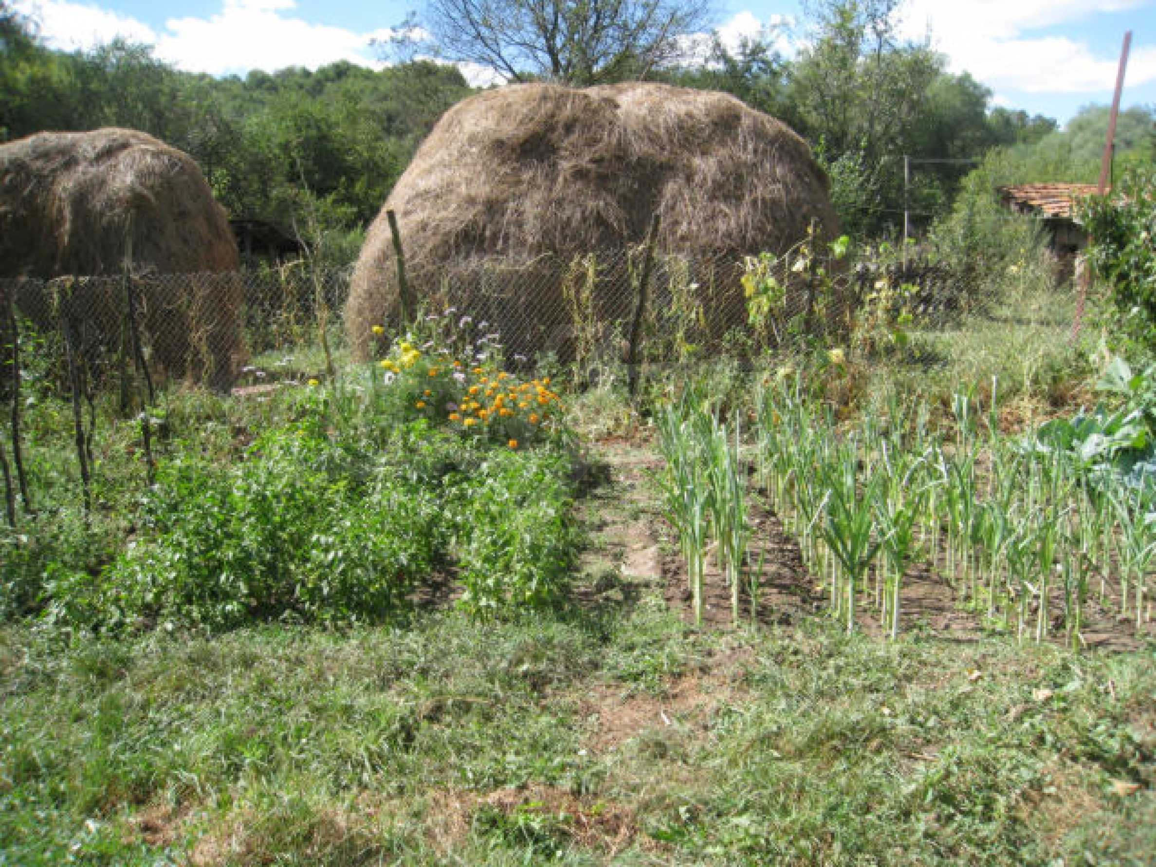
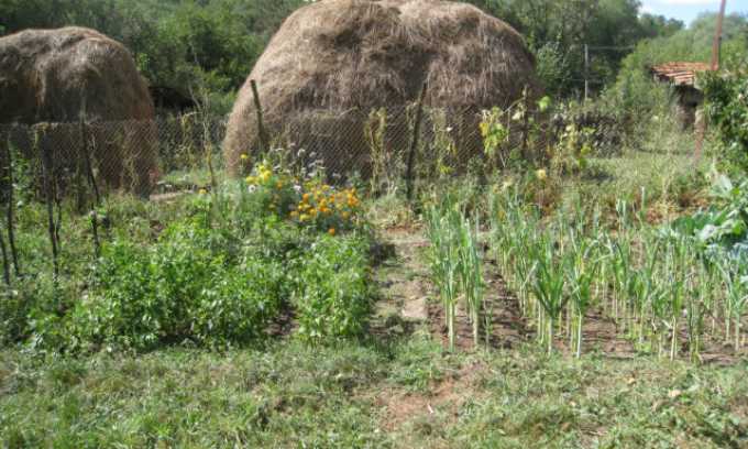
There are various vegetables planted on the land - tomatoes, onions, beans etc.- as well as several fruit trees.
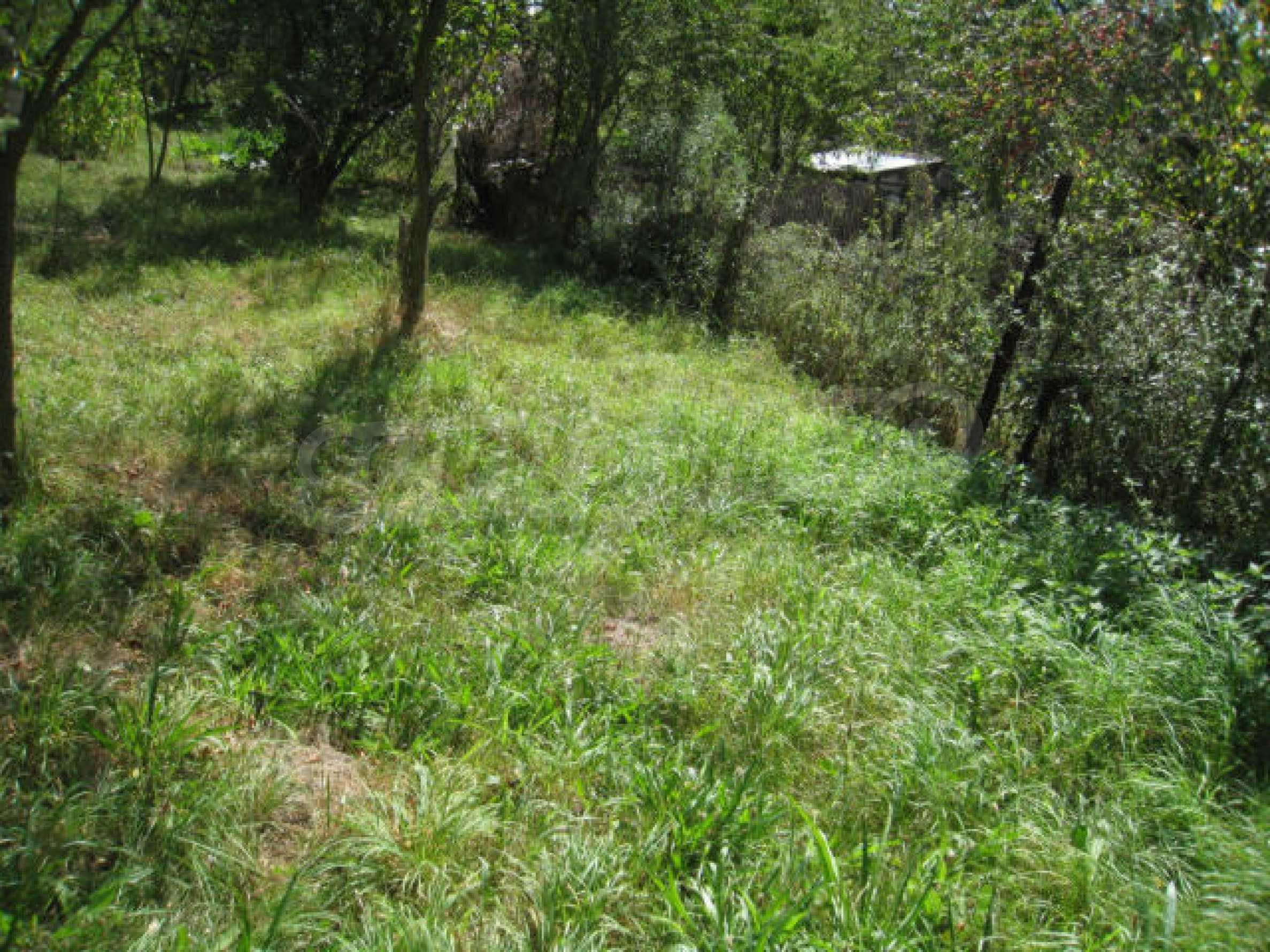
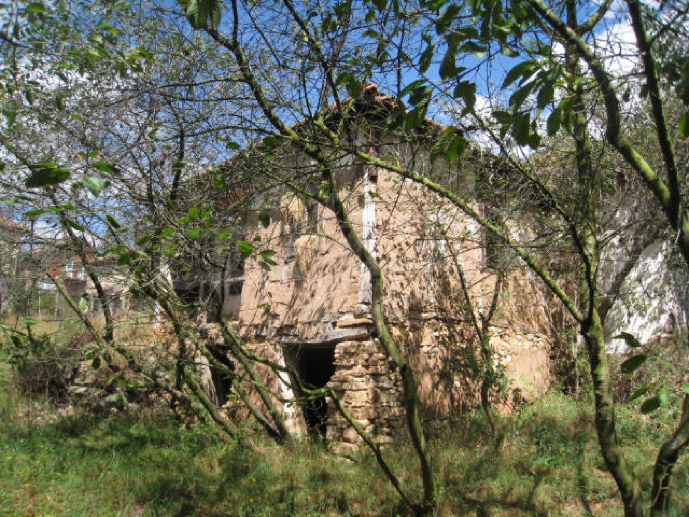
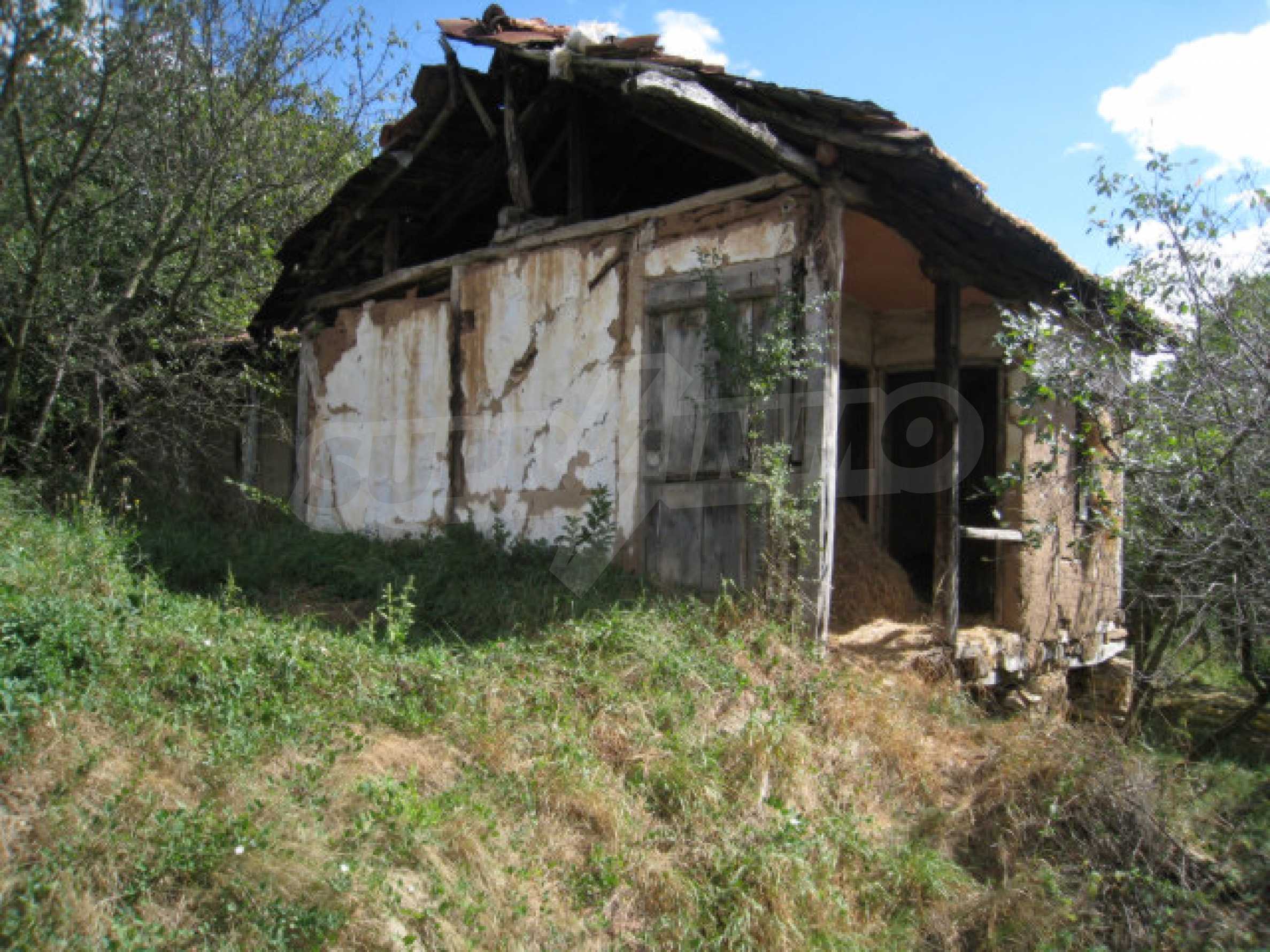
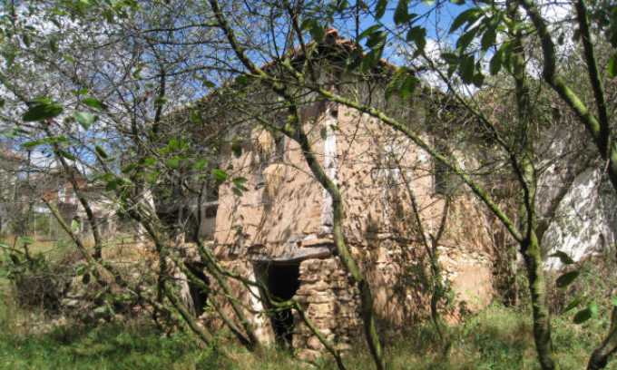
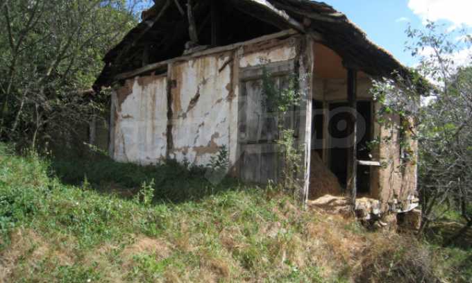
There is an old house on the land which needs to be removed being in poor condition.
The village is in a mountainous area. It is in a valley, surrounded by birch and pine forests. There are two small streams which pass through it. The settlement is surrounded by fertile land. Apart from it, there are many springs in and around the village, among which there is a mineral source. It has proved to help against renal complaints.
One of the cultural sites is the �St. George� church. It is a building from the Middle Ages, most probably built around 1810.
The village is with population of about 100 people.
GPS coordinates:
42�40'33.81"N
22�55'25.79"E
Electricity is available right next to the plot and it can easily be connected when a house is built. There is no mains water system in the village, however, there is no problem with the supply as all houses have their own wells. There is a well on the plot already done.
There are various vegetables planted on the land - tomatoes, onions, beans etc.- as well as several fruit trees.
There is an old house on the land which needs to be removed being in poor condition.
The village is in a mountainous area. It is in a valley, surrounded by birch and pine forests. There are two small streams which pass through it. The settlement is surrounded by fertile land. Apart from it, there are many springs in and around the village, among which there is a mineral source. It has proved to help against renal complaints.
One of the cultural sites is the �St. George� church. It is a building from the Middle Ages, most probably built around 1810.
The village is with population of about 100 people.
GPS coordinates:
42�40'33.81"N
22�55'25.79"E
View the text in other languages (automatic translation)
Location (approximate)
This is the approximate location of the property. Please get in contact with us to learn its exact location.
Properties by region, Sofia
- Properties in district"Malinova Dolina"
- Properties in district"Krustova Vada"
- Properties in district"Center"
- Properties in district"Manastirski Livadi - East"
- Properties in district"Boyana"
- Properties in district"Dragalevtsi"
- Properties in district"Vitosha"
- Properties in district"Lozenets"
- Properties in district"Mladost 4"
- Properties in district"Ovcha Kupel"
Popular searches
- Rural houses in Bulgaria
- Properties for sale in Sofia
- Properties to rent in Sofia
- Properties in Sofia
- 2-bedroom apartments in Sofia
- Houses for sale in Sofia
- 1-bedroom apartments in Sofia
- Apartments (various types) for sale in Sofia
- Apartments (various types) in Sofia
- Properties for sale in NBHDCenter, Sofia